Bear Box at Horse Creek Cable (HP01)
Generated on 20 Oct 2025 - see revision history - please send updates to the webmaster
Detail Map of waypoint HP01
in Hockett Plateau:
(scroll down for directions, waypoints, and area map)
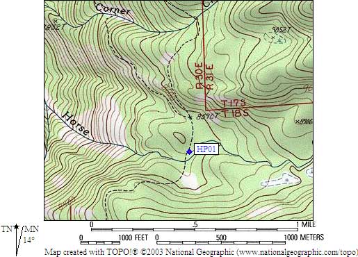
- HP01 is a steel cable, still there as of 2001, at about 8600 feet,
in the GPS route HOCKETT PLATEAU.
- Directions from Steve Eckert, with GPS waypoint, June 2001:
Steel cable between two trees, with a pully and clip on one
so you can lower the cable and attach food without a counterbalance.
Just north of Horse Creek, there are several campsites on the east
side of the trail. The cable is in the LOWER campsite. Look for a
2' metal bar hanging from middle of the cable and/or a wooden sign
announcing the cable. The sign had been hidden, I put it back in
place, but someone may want this cable to NOT be found. The cable
is about 75' from trail, 60' elevation above the stream crossing,
between the trail and the stream.
- Directions from Mineral King ranger info sheet, dated 1991:
Storage cable at the main camp on the north side of Horse Creek and east of the trail.
- HP01 coordinates: (see GPX waypoint download links above)
  (lat,lon) = (36.3919800, -118.6536900) in decimal degrees, NAD83.
  (zone,east,north) = (11S, 351772.0, 4028499.0) in decimal meters, NAD27.
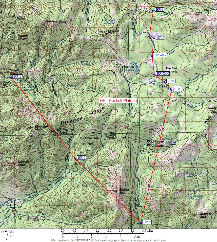
- Scroll down for a regional map of the entire Hockett Plateau region.
Map exported from TOPO! software, used with permission.
Useful Links: