Bear Box at Kern Hot Springs east of trail (KC05)
Generated on 2 Aug 2022 - see revision history - please send updates to the webmaster
Detail Map of waypoint KC05
in Kern Canyon:
(scroll down for directions, waypoints, and area map)
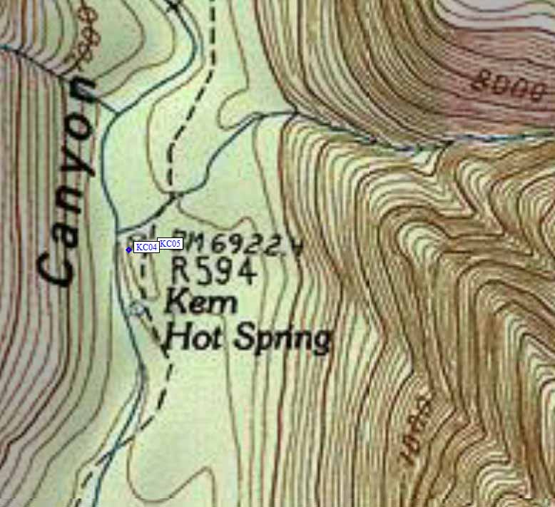
- KC05 is a standard box, at about 6900 feet,
in the GPS route KERN CANYON.
- Note: Kern Hot Springs is where Rock Creek joins the Kern River,
but the Rock Creek bearbox is far upstream and there is no direct
trail between them. There is a concrete tub with wooden privacy
screen at the hot springs, and the campsites are just up-canyon
in the trees.
- Directions from M F Miller, Sep 2020:
Continue on trail past KC04 (trail turns to the right, then go about 30
yards). KC05 bear box is on trail - large brown bear box. Also have pit
toilet nearby. KC04 and KC05 are essentially a lower and upper
campground in the same area.
- Directions from Jeffrey Zimmerman, with GPS waypoint, Sep 2007:
A single box, located in the midst of a campsite to the east
of the trail (i.e., on the right if proceeding upstream), about 30 yards
further upstream than the adjacent box KC04. It is located near a young
tree in the center of the camping area.
- Directions from Mineral King ranger info sheet, dated 1991:
One bear box is accessed by a side trail from the campsite just
north of the Hot Springs meadow, about 90 yards north of
the Hot Springs bulletin board. This path leads about 50 yards
up a gentle gradient to the east, into an open stand of Jeffrey Pine,
which shelters a bear box and three campsites. The pit toilet is
behind a manzanita clump north and east of this bear box.
- KC05 coordinates: (see GPX waypoint download links above)
  (lat,lon) = (36.4792800, -118.4055200) in decimal degrees, NAD83.
  (zone,east,north) = (11S, 374171.0, 4037832.0) in decimal meters, NAD27.
- Scroll down for a regional map of the entire Kern Canyon region.
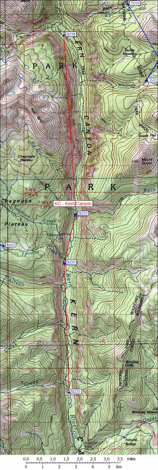
Map exported from TOPO! software, used with permission.
Useful Links: