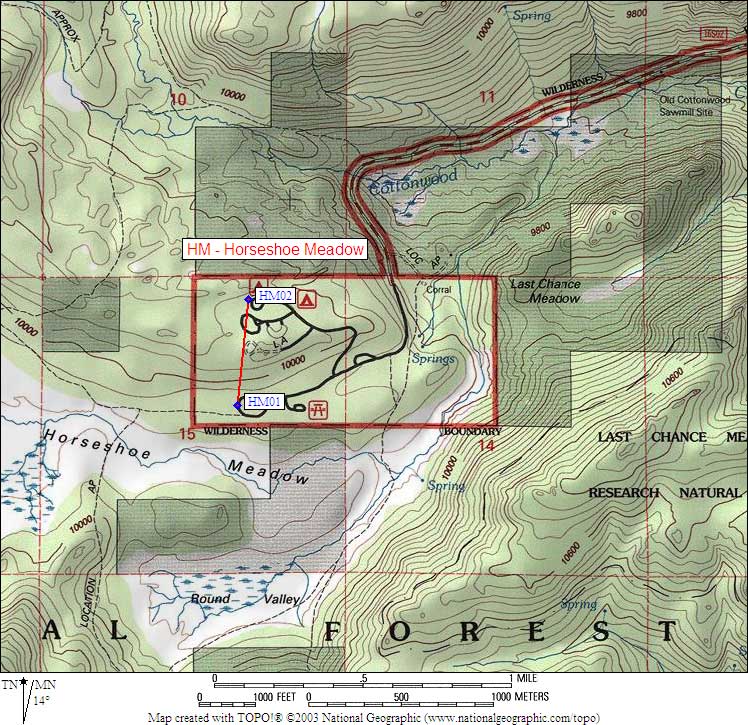
Climber.Org logo

Sierra Nevada Bear Boxes
Details for HM02

Updated 21 Jun 2008, see revision history for details.
CORRECTIONS WOULD BE APPRECIATED! contact Steve Eckert.
Search and Navigate  |   Trip Reports  |   Trip Announcements  |   Roster
Driving Directions  |   Reference Data  |   Gear  |   Common Sense Rules!
For bear box data, including maps and location instructions, you can jump to:
  • the main Bear Box Page or a clickable Bear Boxes Map
  • click on a sorted list of 141 bear boxes or short list of 25 box regions

    Bear box 'HM02'
    (New Army Pass Trailhead)

    Detail Map: (scroll down for directions, waypoints, and area map)

    1. HM02 is 2 standard boxes and 3 large boxes, at about 10000 feet, in the Horseshoe Meadow region.

    2. Directions from Steve Eckert, with GPS waypoint, Sep 2005:
      These boxes are near the outhouse and trailhead sign for Cottonwood Lakes and New Army Pass, separate from the boxes in the adjacent walk-in campground.

    3. Find waypoint HM02 in region waypoints or all waypoints file.
      (NAD83 decimal degrees or NAD27 UTM data suitable for TOPO! software or Waypoint+ software)
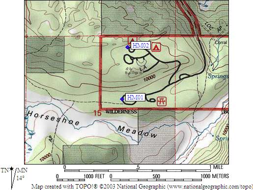
        (lat,lon) = (36.4533000, -118.1698900) in decimal degrees, NAD83.
        (zone,east,north) = (11S, 395245.0, 4034668.0) in decimal meters, NAD27.
    4. Previous box is HM01: Cottonwood Pass Trailhead.

    5. Scroll down for a regional map of the entire Horseshoe Meadow region.

    6. Use Google Maps or Google Earth to view this region overlaid with roads and trails on satellite images or maps.
      (Click on any icon to get details in a popup, double-left-click to zoom in, double-right-click to zoom out.)


    Map exported from TOPO! software, used with permission.