Bear Boxes in Horseshoe Meadow (HM)
Generated on 2 Aug 2022 - see revision history - please send updates to the webmaster
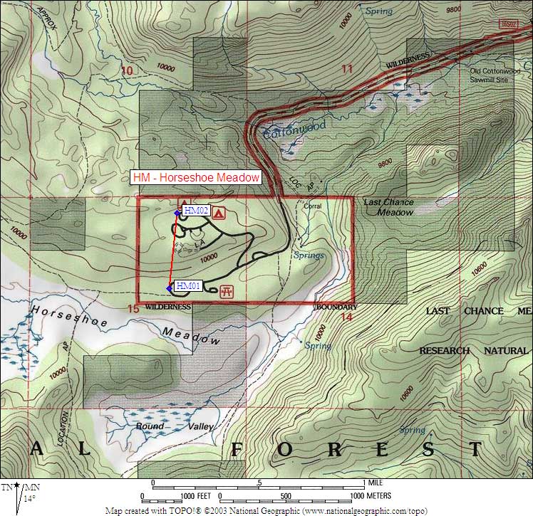
| 2 Bear Boxes in Horseshoe Meadow - GPS route HORSESHOE MEADOW | |||
|---|---|---|---|
| click on name for details and directions | elevation | waypoint | food locker type |
| Cottonwood Pass Trailhead | 9900 | HM01 | 4 standard boxes |
| New Army Pass Trailhead | 10000 | HM02 | 2 standard boxes and 3 large boxes |
Useful Links: