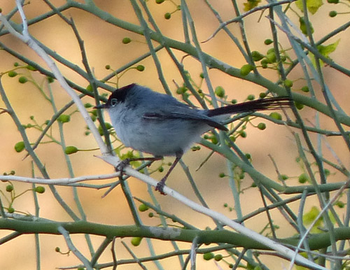
A tiny Black-tailed gnatcatcher
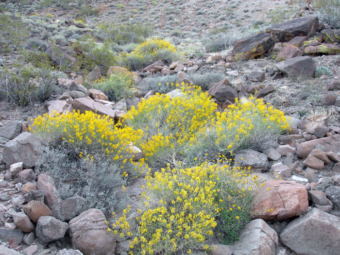
Desert Senna in bloom
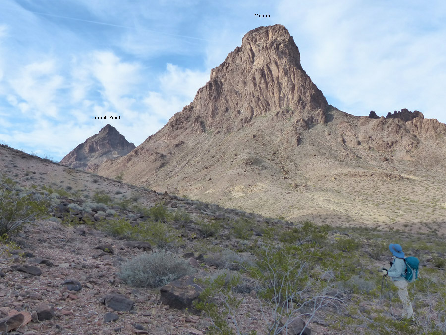
Umpah Point is not climbed very often since it is not on any list, even though it is higher than the listed Mopah. Both Mopah and Umpah are volcanic plugs. The up and down route took us slowpokes about four hours. We reached our objective, the north face of Umpah about 9 a.m. and took a break. We then stashed half our remaining water and our trekking poles.
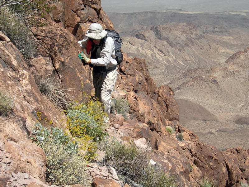
We started up a gully on the north face. Higher up route-finding became more difficult.
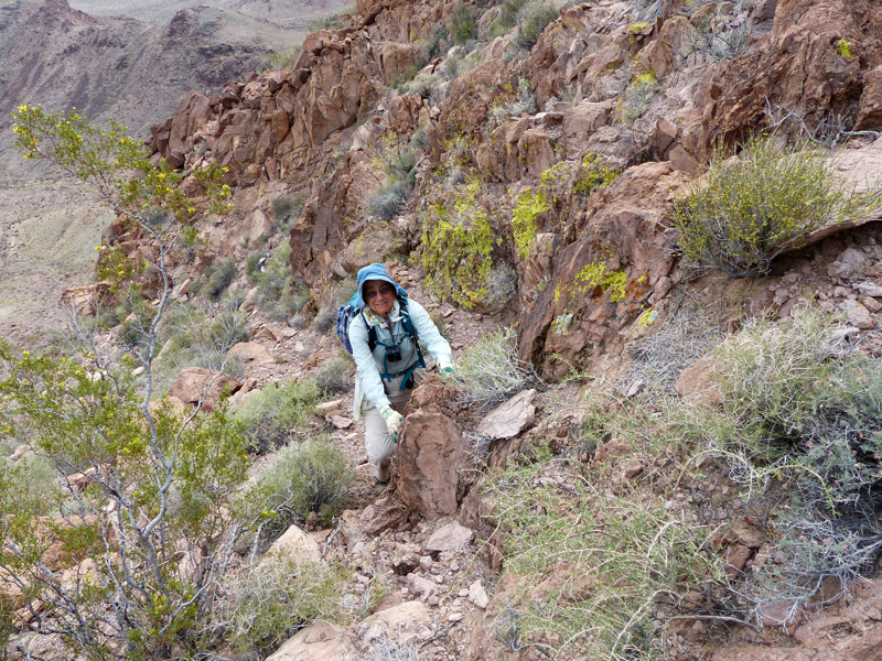
There were multiple branches of the gully. Once we encountered a headwall swarming with wasps coming in and out of a crack in the wall and had to reverse course. Another time we attempted to cross the east ridge too early and had to backtrack. Finally, further up we found the ridge crossing and easier slopes. We continued ascending and crossed over another rib.
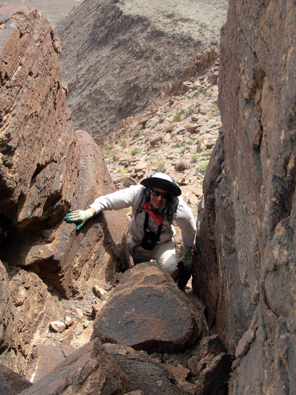
Umpah is not the kind of peak where one can see the summit during the climb. We passed a prominent duck and continued traversing upward. Eventually the terrain became class 3. We passed under a large chockstone in a chimney, and the climbing became more difficult. Richard was becoming more uncomfortable with the exposure. "I don't want to continue," he said. "OK," I agreed, swallowing my disappointment. We started down. It was getting late. As we traversed by the prominent duck, Richard looked up. "Maybe we can go up here," he suggested. The route led up and around a corner. We couldn't see where it went. Around the corner we hit easier going then an easy chimney. Fierce winds pummeled us, especially in the chimney as we scrambled upward and across more rocks to the summit. On top the wind was so strong I could hardly stand up. I estimate there were gusts up to 50 mph.
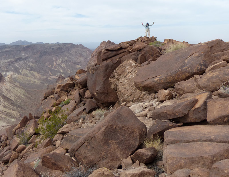
And there we were. On top of Umpah with great views of Mopah and the surrounding desert. It was after 2 p.m. It had taken us four hours to ascend from the base of the peak and would take another four to carefully pick our way down to where we had left three liters of water.
By 6 p.m. we were safely down. After resting and eating, we started back. The crenellated terrain of the desert makes for slow going. By the time we trekked the mile back to Mopah, we were losing our light. The rest of the way back would be in the dark. And what a fantastic night sky it was! Guided by the brilliant north star and my well-developed sense of direction, (did I mention I had a compass?) I found our wash. We padded along in the sand and gravel the last 3.5 miles back to our vehicle accompanied by moths that fluttered around my headlamp, bumped into my face, and occasionally flew into my ear. Another close encounter with wildlife. In all we had travelled 12 miles, 2400' of elevation gain in about 16 and a half hours. No getting around it, we're slow.