Bear Box at Roaring River North (RR01)
Generated on 20 Oct 2025 - see revision history - please send updates to the webmaster
Detail Map of waypoint RR01
in Roaring River:
(scroll down for directions, waypoints, and area map)
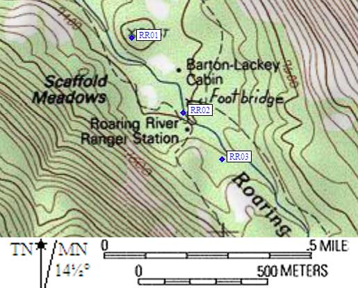
- RR01 is a standard box, at about 7400 feet,
in the GPS route ROARING RIVER.
- Directions from Steve Eckert, with GPS waypoint, Aug 2003:
One box well hidden from view and with no signs! Horse packers presume
exclusive use of this box, because it's by far the best camping location
in the area. Cross to the east side of the Roaring River bridge, and
immediately go north along use trails instead of following the trail
marked Avalanche Pass. (There is also a Colby Pass trail which goes
south from here, but there are no boxes along that trail.) Go north
(down-canyon) past the Lackey Cabin (which is inside a fenced horse pasture)
and continue along the fence until you see a hill between the river and
another grazing area. Climb the hill (about 50' elevation) to find a
great secluded campsite, one or two freshwater springs, and the bear box
very near Point 7416 on the 7.5 topo maps. This box is about a quarter
of a mile northwest from the ranger station.
- Directions from Ranger Catie at the Roaring River Ranger Station, Aug 1999:
One box on the east side of Roaring River, in the pack stock and group camp
area (downstream from the trail junction near the Roaring River bridge).
Hikers are asked not to use the stock camp bear box.
- Directions from Mineral King ranger info sheet, dated 1991:
One box 100 yards north of Lackey Cabin.
- RR01 coordinates: (see GPX waypoint download links above)
  (lat,lon) = (36.7153300, -118.5882300) in decimal degrees, NAD83.
  (zone,east,north) = (11S, 358235.0, 4064272.0) in decimal meters, NAD27.
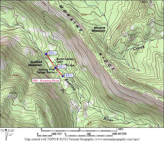
- Scroll down for a regional map of the entire Roaring River region.
Map exported from TOPO! software, used with permission.
Useful Links: