Bear Box at Pine Creek Trailhead (RN03)
Generated on 20 Oct 2025 - see revision history - please send updates to the webmaster
Detail Map of waypoint RN03
in Rock Creek North:
(scroll down for directions, waypoints, and area map)
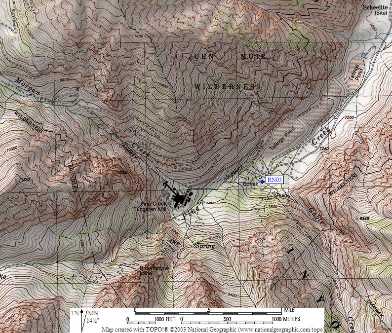
- RN03 is 3 boxes, at about 7400 feet,
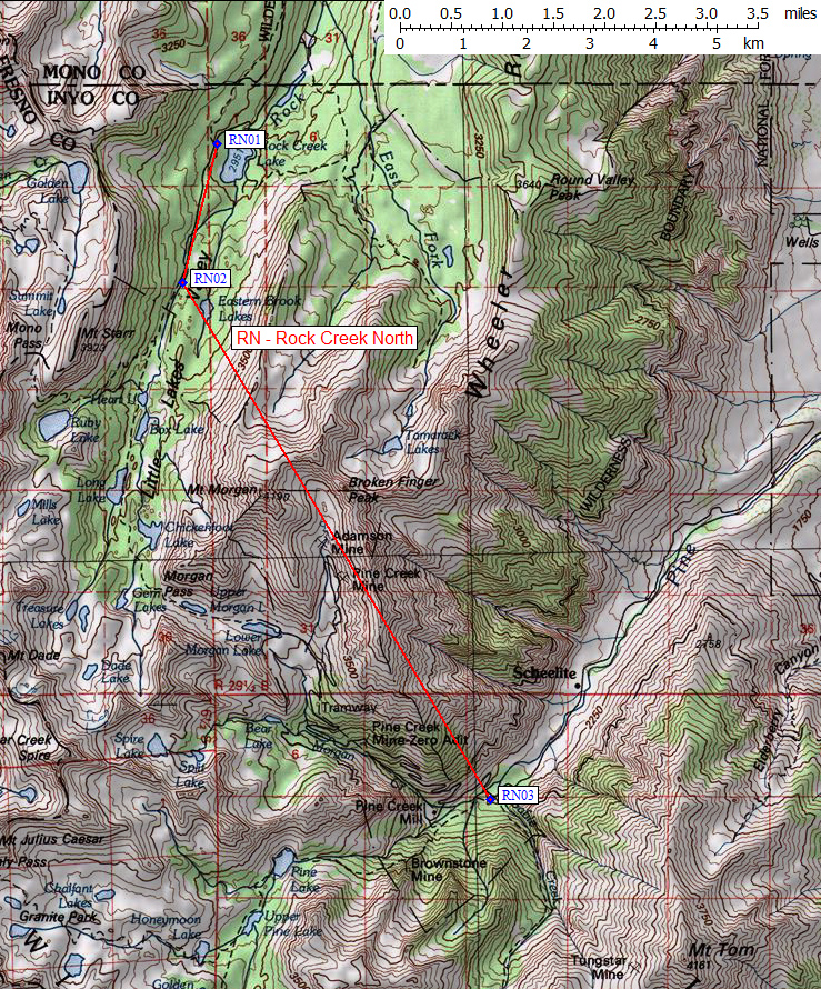
in the GPS route ROCK CREEK NORTH.
- Note: This is 'Rock Creek North', near Little Lakes Valley.
See also 'Rock Creek South', by New Army Pass.
- Directions from Eric Schultz, with GPS waypoint, Aug 2021:
Two standard and one large bear box at the
Pine Creek Pass trailhead, about equidistant between
the pavement and the pack station gate.
- RN03 coordinates: (see GPX waypoint download links above)
  (lat,lon) = (37.3610600, -118.6917400) in decimal degrees, NAD83.
  (zone,east,north) = (11S, 350265.0, 4136071.0) in decimal meters, NAD27.
- Scroll down for a regional map of the entire Rock Creek North region.
Map exported from TOPO! software, used with permission.
Useful Links: