Bear Box at Monarch Lake #1 (MK09)
Generated on 2 Aug 2022 - see revision history - please send updates to the webmaster
Detail Map of waypoint MK09
in Mineral King Area:
(scroll down for directions, waypoints, and area map)
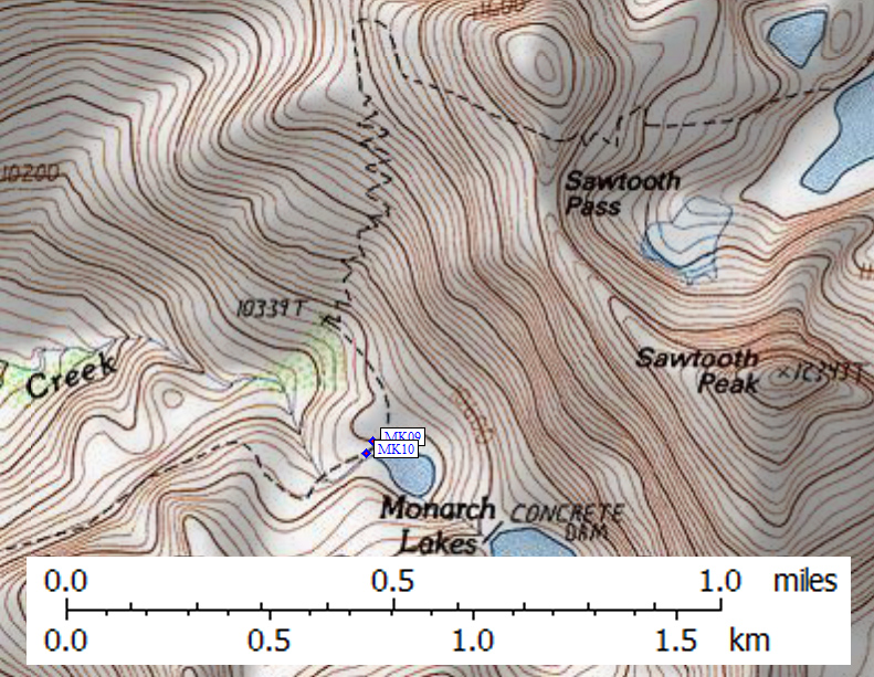
- MK09 is a standard box, at about 10400 feet,
in the GPS route MINERAL KING.
- Note: The boxes and the toilet are north of the Lower Monarch Lake outlet,
less than 100' elevation above the lake in the large sandy boulder field,
in spite of where the old ranger text locates them.
- Directions from Steve Eckert, with GPS waypoint, Sep 1999:
Two boxes, one on each side of the pit toilet, in sight of each other about 50 yards apart.
- Directions from Mineral King ranger info sheet, dated 1991:
One box is approximately 100 yards northeast of the Lower Monarch Lake outlet
and near some rock bluffs approximately 250 yards west of the lake.
Another box is east of the trail and 50 yards northeast of the outhouse,
out of sight and behind a large boulder.
- MK09 coordinates: (see GPX waypoint download links above)
  (lat,lon) = (36.4539242, -118.5665668) in decimal degrees, NAD83.
  (zone,east,north) = (11S, 359697.0, 4035241.0) in decimal meters, NAD27.
- Scroll down for a regional map of the entire Mineral King Area region.
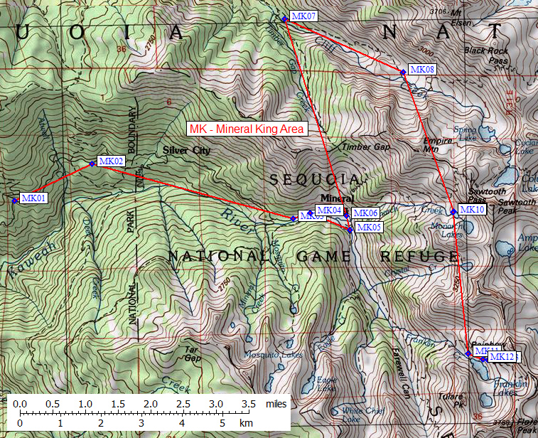
Map exported from TOPO! software, used with permission.
Useful Links: