Bear Box at Cabin Access Road (MK04)
Generated on 2 Aug 2022 - see revision history - please send updates to the webmaster
Detail Map of waypoint MK04
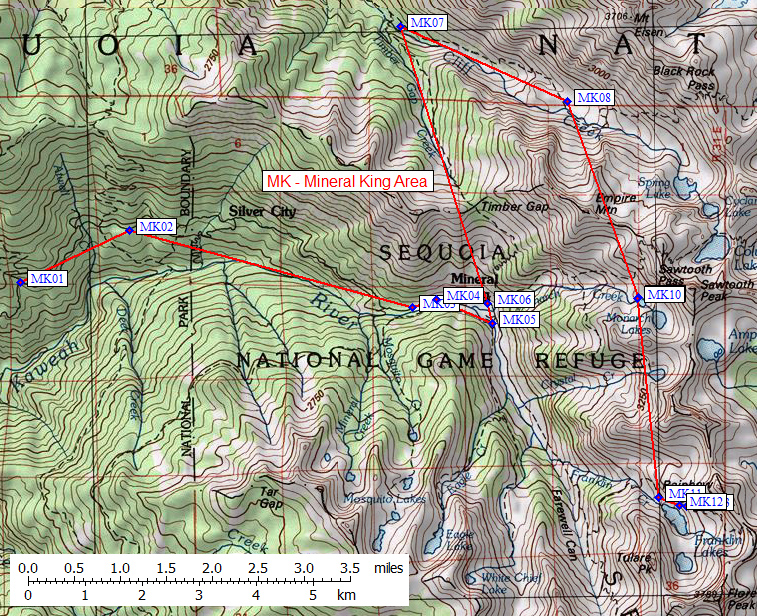
in Mineral King Area:
(scroll down for directions, waypoints, and area map)
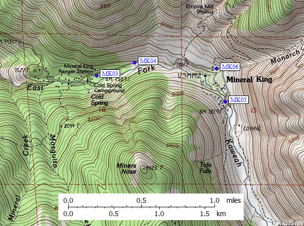
  (lat,lon) = (36.4535800, -118.6064800) in decimal degrees, NAD83.
  (zone,east,north) = (11S, 356120.0, 4035261.0) in decimal meters, NAD27.
Map exported from TOPO! software, used with permission.
Useful Links: