See waypoint KITCAR on the Silver Lake trailhead page for my winter trailhead and GPS waypoints. There's a plowed parking lot here with no Sno-Park sign, apparently for the Kit Carson Resort area cabins that people access via snowmobile in the winter. Trudging around the end of the lake on the packed road, I couldn't wait to get into the trees. I should have waited just a bit LESS, because I went too far south on the way in!
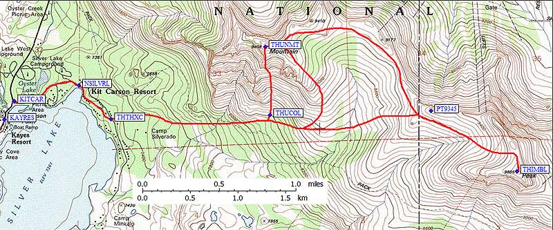
May showing my route - see Silver Lake trailhead page for waypoints.
Leave the road around waypoint THTHXC, and head cross-country to the east. The navigation gets easier as you get higher and the terrain opens up. On the way up, I planned to go around to the southeast shoulder of Thunder, where the map showed lower slope and more open terrain, but then I saw a cool chute leading directly to the summit. I headed into that chute at waypoint THUCOL. Narrow, steep, interesting rocks on the side, direct, everything you want in a snow chute!
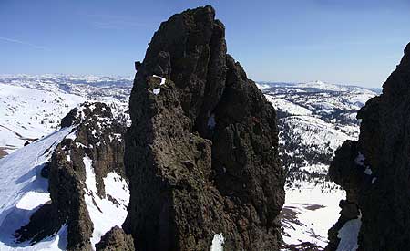
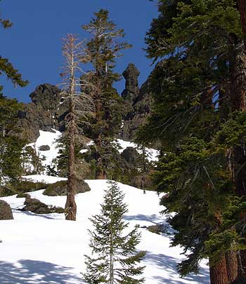
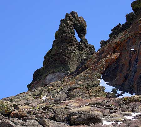
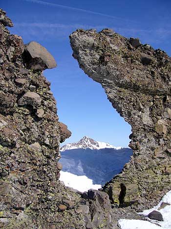
Chute with interesting rock formations, pictures from the bottom and the top:
| 
|
The chute had 30 degree snow and 40 degree rock, so it might be more challenging in the summer. Still, with spires and arches and no loose rubble, it seems like the best ascent route to me. I hung out on the top, made a few phone calls courtesy of the cell site at Kirkwood (no reception anywhere else in this area), and headed toward Thimble.
Traversing the ridge looks simple until you realize Kirkwood has put their ski boundary slightly OVER the ridgeline, and then they run their grooming equipment on the south side of THAT boundary. They chew up some of the plants, but by now (after 1pm) it was baking hot in the bowl and the snow had slushed up except where the groomers had packed it down. I walked the track under PT9345, aware that the ski patrol people were watching me, then traversed the bowl directly to the summit of Thimble. I don't know if it's OK for skiers from Kirkwood to climb this peak, outside the ski area boundary, but several of them were just leaving when I got there. The summit of Thimble is Class 4-5 volcanic accretions, which I couldn't bring myself to try solo and without gear.
| Not exactly a wilderness experience watching downhill skiers traverse the slope below your peak, but nice views were to be had if you looked the other way!
RIGHT: Sisters viewed through the ridge near Thimble. BELOW: The Class 4-5 summit block of Thimble.
|
|