Bear Box at Sunrise High Sierra Camp (YE02)
Generated on 20 Oct 2025 - see revision history - please send updates to the webmaster
Detail Map of waypoint YE02
in Yosemite Park East:
(scroll down for directions, waypoints, and area map)
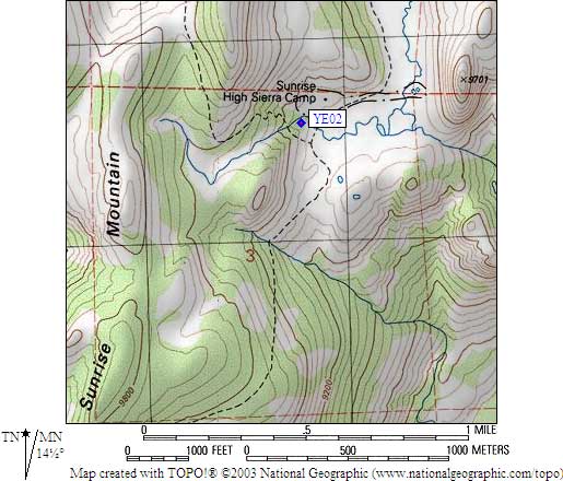
- YE02 is 2 large boxes, at about 9300 feet,
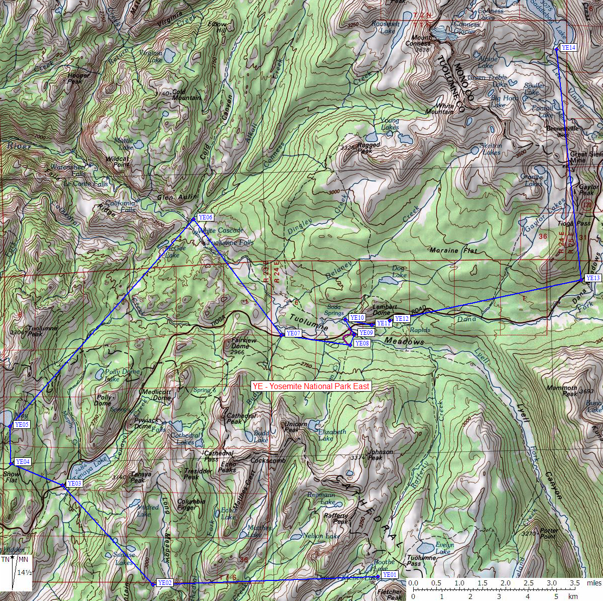
in the GPS route YOSEMITE EAST.
- Note: This over-used area has braided trails that could confuse
anyone. There is more than one junction with
the John Muir Trail but only one set of junction signs.
The bear boxes among the buildings are for camp guests,
backpackers should use the boxes southwest of the buildings.
- Directions from Steve Eckert, with GPS waypoint, Aug 2004:
Two large bear boxes located just uphill from the solar toilet
in the backpacker camping area. As you drop from Sunrise Lakes
to the meadow, tent camping areas are on the right (south) and
the camp buildings are on the left (north).
- Directions from Cindy Miller, Aug 2000:
There 2 standard bear boxes located at 9300' at Sunrise
High Sierra camp, very close to the solar composting outhouse.
- YE02 coordinates: (see GPX waypoint download links above)
  (lat,lon) = (37.7942700, -119.4338400) in decimal degrees, NAD83.
  (zone,east,north) = (11S, 285786.0, 4185580.0) in decimal meters, NAD27.
- Scroll down for a regional map of the entire Yosemite Park East region.
Map exported from TOPO! software, used with permission.
Useful Links: