Bear Box at Middle Paradise (WC03)
Generated on 20 Oct 2025 - see revision history - please send updates to the webmaster
Detail Map of waypoint WC03
in Woods Creek Northern Rae Lakes Loop:
(scroll down for directions, waypoints, and area map)
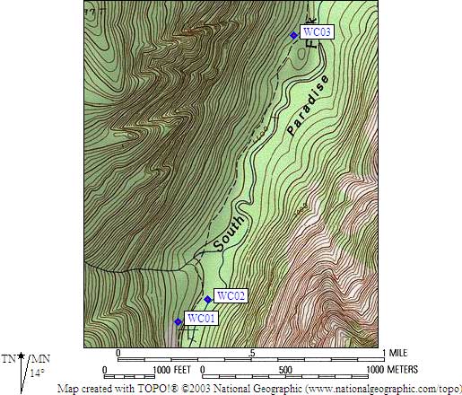
- WC03 is a standard box, at about 6700 feet,
in the GPS route WOODS CREEK.
- Note: You'll be lucky to get a good GPS fix here, due to the narrow canyon and tall trees.
There is a campground info sign as you enter Middle Paradise from the south (none from
the north) - the trail is about halfway between the box and the river, just north of
the large fallen tree cut to let the trail through.
- Directions from Peter Stephens (NPS), March 2006:
Use of these lockers is only available to through hikers on the PCT and
JMT. People who are starting or ending their trips in either Sequoia NP,
Kings Canyon NP,or Inyo NF and passing through this area are required to
carry portable food storage canisters and all food and scented items must
fit into the canisters. The public [should not] be misled into counting
on food storage locations that are not available to them. [Editor's Note:
Peter attached the document 'Special Public Use Limits and Closures for 2006'
which does not prohibit locker use by non-through-hikers, but does require
carrying a canister.]
- Directions from Laura Civiello, Aug 2000:
One box uphill from the trail in designated campsite 2
(the pit toilet is in campsite 1, just to the north of 2)
in Middle Paradise Valley.
- Directions from Scott Carpenter, with GPS waypoint, Nov 1999:
One box south of the second side stream crossing, roughly 2.5
miles north of Mist Falls, uphill from the trail on the
west side of the South Fork Kings River.
- Directions from Mineral King ranger info sheet, dated 1991:
One box above the trail in Middle Paradise.
- WC03 coordinates: (see GPX waypoint download links above)
  (lat,lon) = (36.8493061, -118.5353261) in decimal degrees, NAD83.
  (zone,east,north) = (11S, 363196.0, 4079060.0) in decimal meters, NAD27.
- Scroll down for a regional map of the entire Woods Creek Northern Rae Lakes Loop region.
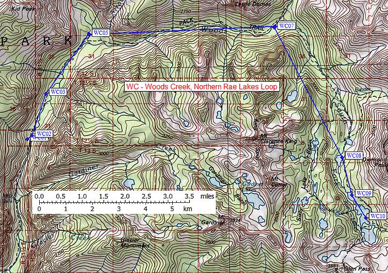
Map exported from TOPO! software, used with permission.
Useful Links: