Bear Box at Franklin Creek (MK11)
Generated on 20 Oct 2025 - see revision history - please send updates to the webmaster
Detail Map of waypoint MK11
in Mineral King Area:
(scroll down for directions, waypoints, and area map)
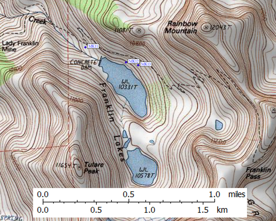
- MK11 is a standard box, at about 10300 feet,
in the GPS route MINERAL KING.
- Directions from Steve Eckert, with GPS waypoint, Oct 2001:
One box about 100 feet below and 100 yards away from
the dam of lower Franklin Lake. It is southwest of
the trail, about halfway to the stream, next to a
sandy and exposed camping area.
- Directions from Mineral King ranger info sheet, dated 1991:
One box below and east of the Franklin Lake dam and about 100 feet
west of the trail.
- MK11 coordinates: (see GPX waypoint download links above)
  (lat,lon) = (36.4220700, -118.5627300) in decimal degrees, NAD83.
  (zone,east,north) = (11S, 359984.0, 4031702.0) in decimal meters, NAD27.
- Scroll down for a regional map of the entire Mineral King Area region.
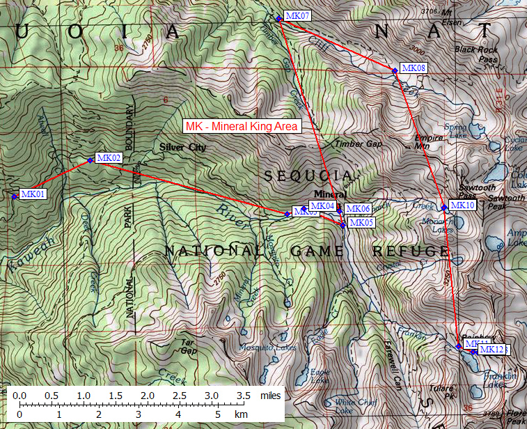
Map exported from TOPO! software, used with permission.
Useful Links: