Bear Box at Hockett Meadow Stockade (HP03)
Generated on 20 Oct 2025 - see revision history - please send updates to the webmaster
Detail Map of waypoint HP03
in Hockett Plateau:
(scroll down for directions, waypoints, and area map)
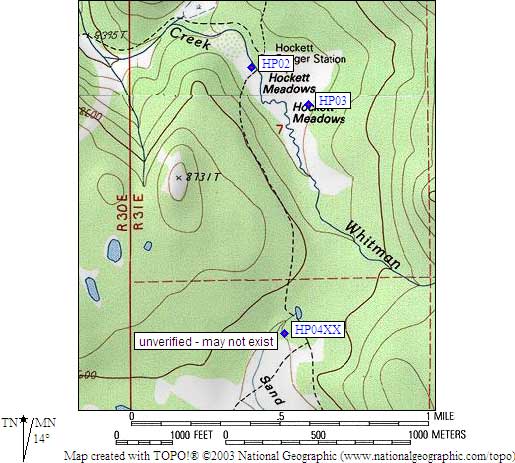
- HP03 is a standard box, at about 8500 feet,
in the GPS route HOCKETT PLATEAU.
- Directions from Steve Eckert, with GPS waypoint, June 2001:
One standard box a quarter mile across the meadow from the ranger
station. You can find it by looking for the largest boulder just
outside the tree line that defines the meadow. Closer up, the bear
box is just behind an orange snow depth marker nailed to a tree and
facing the meadow. This box is intended for horse packers, see BBHP02.
- Directions from Mineral King ranger info sheet, dated 1991:
One box at the stock camp in the trees one fourth of a mile
southeast of the Ranger Station.
- HP03 coordinates: (see GPX waypoint download links above)
  (lat,lon) = (36.3744700, -118.6531000) in decimal degrees, NAD83.
  (zone,east,north) = (11S, 351789.0, 4026557.0) in decimal meters, NAD27.
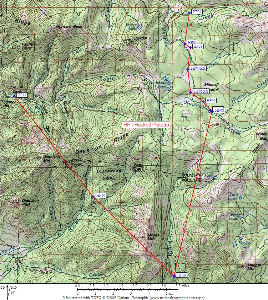
- Scroll down for a regional map of the entire Hockett Plateau region.
Map exported from TOPO! software, used with permission.
Useful Links: