topo:      Devils Postpile Quadrangle, 7.5' series
trailhead: Mammoth Ski resort,
   	   Mammoth Mountain Inn parking lot
permit:    self registration at ranger station,
	   before going through Mammoth
time of year: mid April (99)
conditions:mostly snow, great weather, strong winds, snow-free higher ridges
length:    2 days
elevation: 11600' San Joaquin summit, 2600' elevation gain from trailhead
drive:     about 300 mi to trailhead from Bay Area, up Carson Pass (88),
	   through Gardnerville and Bridgeport (395)
equipment: crampons, ice-axe, snow shoes, poles, shovel
summary:   camped just below ridge after 10913' peak
Summit Route: extremely easy route finding (San Joaquin is the last
	   peak along the ridge)
	   Very low avalanche danger because of the ridge route.
After a day hike from Carson Pass up to Round Top on Friday, which left us more tired than expected, Peter Maxwell and I headed down 395, and stopped at Lee Vining's Murphey's Motel for the night. A perfect place for the frugal yet comfort-seeking climber I am. Fish and chips and beer at Nicely's nicely prepared us for the challenges to come.
On Saturday morning, we departed from the Mammoth ski resort, which was crowded with cars, people, music, food smells, and noise. We followed the snow covered road one mile to Minaret summit.
To our surprise, snowmobilers were using this area and most of the mountain was track covered. However, higher up, we rarely heard them and the only one that passed by saw us and nicely avoided running us over. The unexpected advantage was that the tracks provided a snow packed trail for us to follow without snow shoes.
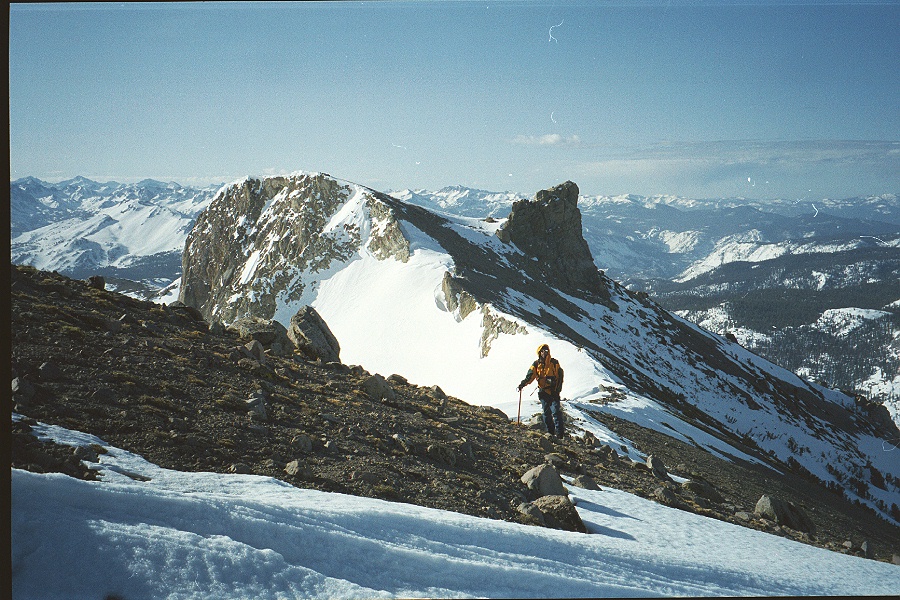
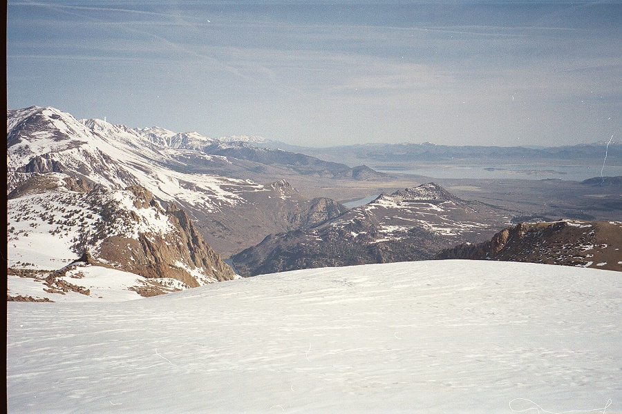
At the summit, we left the road and started following the ridge northbound. This ridge is about 7 miles long, with San Joaquin at its North end. Route finding was easy ;-) Cloudy skies provided some relief from the heat of the sun; part of the route was snow covered, part barren. On our left side, the Minaret range, Banner, and Ritter spread in a large panorama. Further along the ridge, I could look down onto the snow covered Ediza lake across the valley. To our right, we could see the White Mountains and Mono Lake.
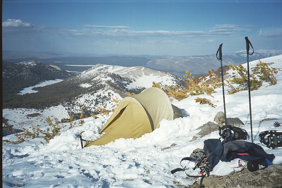
We arrived at a wind blown top, a mile and a half away from the peak, by mid afternoon. Oddly, we felt fitter that day with full packs than the day before on Round Top with day packs. We found a snow patch a bit below the ridge to dig and build a tent platform: I noticed very different snow layers, a top one being solid, icing-sugar like, and a bottom one, very loose like soda ice. I was relieved that our route had followed the ridge rather than a side slope that could have presented a greater avalanche danger.
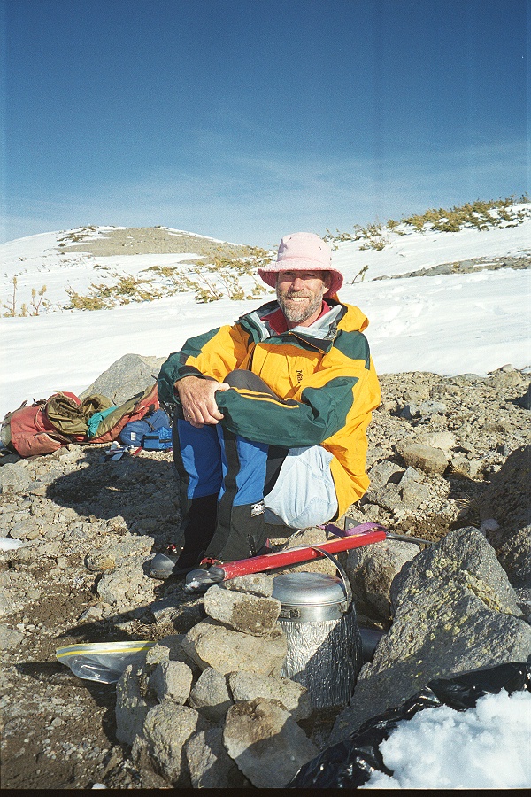
Peter then realized we had left behind the stove parts on which the "billy" (pot, in Australian) rests, and we used our engineering - and desperate - minds to create a pot holder out of an ice-axe and rocks. After much shoveling and snow melting, we shared an aged Australian shiraz to celebrate my birthday, and the sun set behind Banner peak.
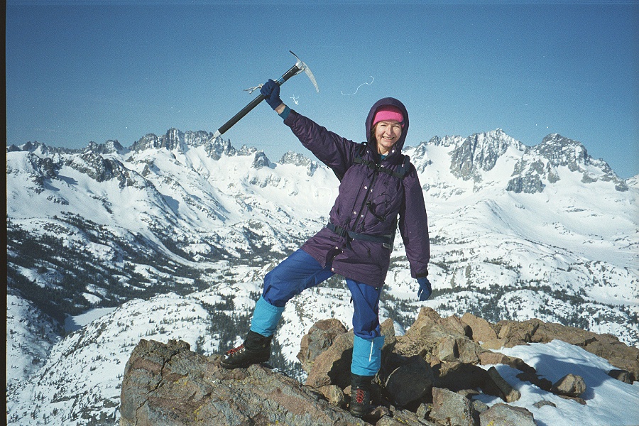
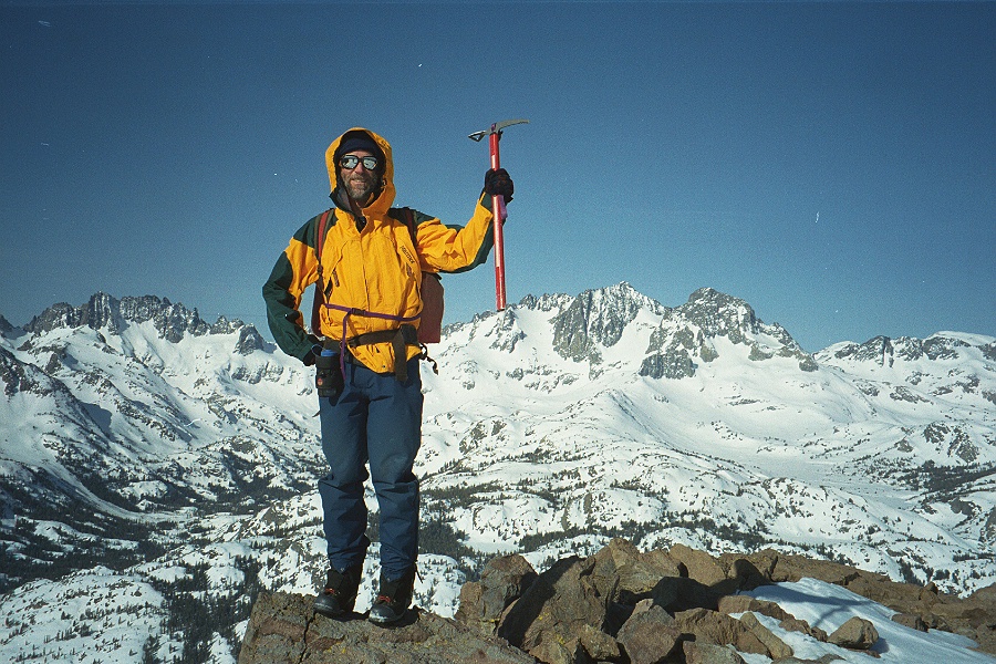
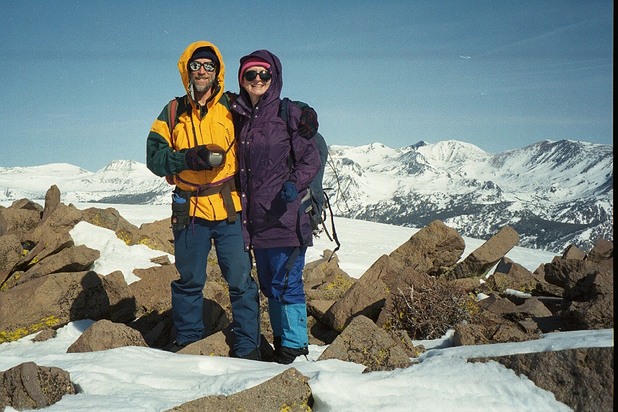
The next day, the wind blew even harder but we set off anyway along the ridge: after using the crampons on a steeper part covered by hard snow we passed Two Teats and reached the top of San Joaquin by 9am. The weather was beautifully clear and the wind had died down. We found the USGS Benchmark but no register.
We headed back and down quickly as we knew the drive home was going to be long: we were back at home by 11PM, with minimal stops and a few Arby's curly fries scattered on the car floor. I could not wait to kiss our kids left at home with their grand-parents. They had had other kinds of adventures at Happy Hollow.