Corkscrew from the road - the route goes to the right of the screwtop.
Follow the right foreground ridge to the right skyline, then head up.
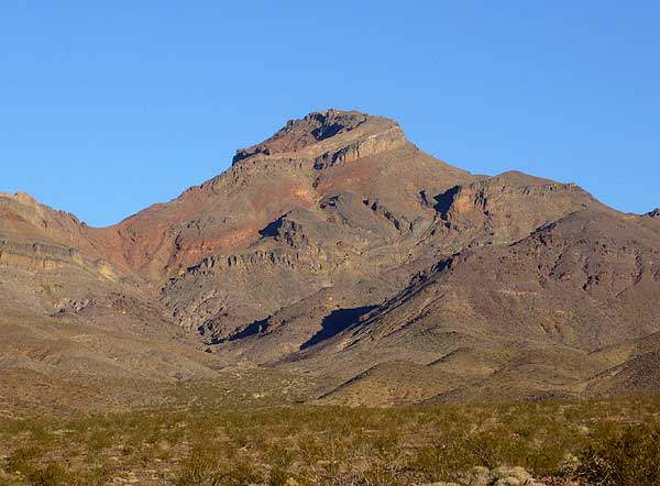
The next morning we headed northwest up a wash. OK, sort of angled across the wash. The route is easy to find after you've done it or if you're following a group, but a bit vague when you're first there by yourself. See the trailhead page for waypoints and a nice red line on a map! The trick is to drift out of the main wash at just the right altitude, and then to pick just the right ridge to stay out of the waterfall canyons. The DPS guide has several routes, and if you want to follow those directions you'll get there. Or just walk the GPS coordinates and remember that you have to climb significantly to the right of the cliff band that looks like a screwtop. Others have gone wrong here, thinking the route was obvious.
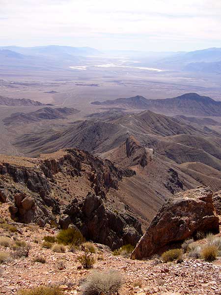
The view from the top toward Badwater was hazy but impressive.
We went up the 2nd class ridge route, then chose to come down the 3rd class gully just west of it. It's probably easier to do those two routes in the other direction if you want to explore, since ascending waterfalls is easier than downclimbing them. (Then again, as a frequent desert peak climber once explained to me, ridges tend to converge as you go up and drainages tend to converge as you go down, so we did the two routes in the order which is easiest navigation.) There are several use trails near the top, the best of which went considerably east of our route below the cliff band. You won't be able to see the cars on your way down, so look over your shoulder often on the way up (to set in your head where you're going) or take a GPS and know how to use it!