Desert Peaks - Region 4, Peak 9
Riverside County
Generated on 5 Aug 2021 - see revision history - please send updates to the webmaster
| Spectre Pt in Riverside County Region | |||||||||
| Num | Peak Name (more links) | Waypoint | Elev | DPS | Class | Pics and Reports | UTM hint (map) | 7.5' USGS topo quad | Register |
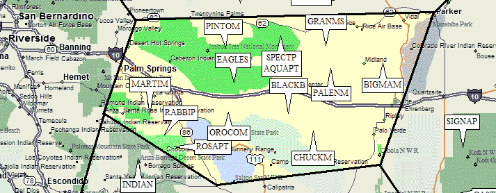
| 4.9 | Spectre Pt | SPECTP | 4480 | 2 | 1 report on spectre | 474660 | Cadiz Valley SW | ||
| Spectre Pt's summit is the high point of the Coxcomb Mtns. It is 0.3 mi SW of benchmark Aqua. The 7- 1/2’ topo is in error; the highest contour lines at Spectre Pt. are missing. Spectre Pt. is about 70 feet higher than Aqua Pt. The DPS uses the name 'Tensor Pt.' for Aqua, and the name 'Dyadic' for the point 0.3 mi. ENE of Spectre Pt. at UTM 478661. | |||||||||
NOTE: M = Mountaineers Peak, E = Emblem Peak, X = not on DPS List (in 'DPS' column)
      ^ = metric contours and elevations on 7.5' maps (in 7.5' map columns)
      Name Mt  => 'Mt' is before peak 'Name' (ex: Rose Mt is Mount Rose, but sorted on 'Rose')
      Name Mtn => 'Mtn' is after peak 'Name' as listed (ex: Muah Mtn is Muah Mountain)
The "UTM Hint" in the table above approximates the peak location to the nearest 100 meters.
Click here for info on Universal Transverse Mercator coordinates.
Useful Links: