Bear Box at Dillonwood Grove Entrance (HP10)
Generated on 2 Aug 2022 - see revision history - please send updates to the webmaster
Detail Map of waypoint HP10
in Hockett Plateau:
(scroll down for directions, waypoints, and area map)
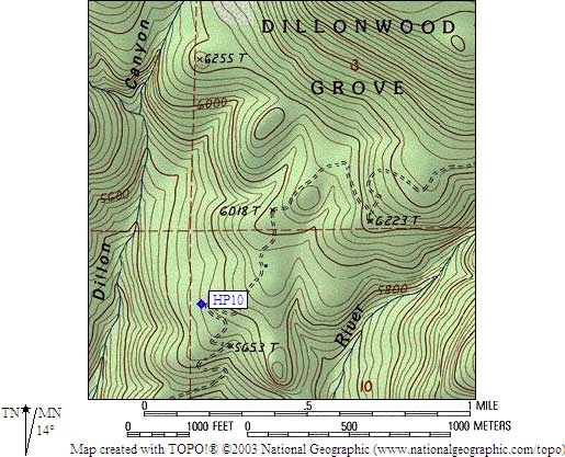
- HP10 is 1 large box, at about 5700 feet,
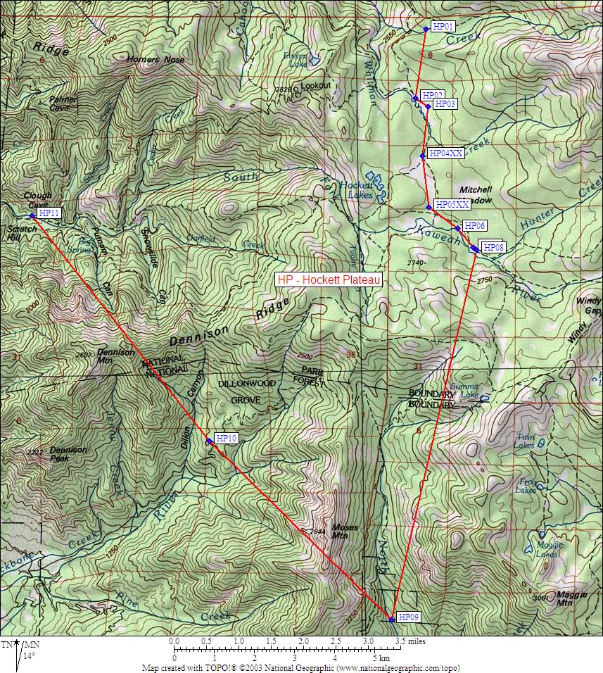
in the GPS route HOCKETT PLATEAU.
- Directions from Steve Eckert, with GPS waypoint, Oct 2004:
The Dillonwood Grove Entrance, between Dennison and Moses,
is used mostly by hunters. There is better access to both
peaks from other trailheads, but if you want cross-country
adventure with giant sequoias in a natural setting, this is the place.
One large box is at the end of the road, just right of the permanently
locked gate where the topo map shows a hairpin turn at 5700' on
a rough 4WD road. There are two apparently seasonal gates below this one.
- HP10 coordinates: (see GPX waypoint download links above)
  (lat,lon) = (36.2988400, -118.7141400) in decimal degrees, NAD83.
  (zone,east,north) = (11S, 346167.0, 4018261.0) in decimal meters, NAD27.
- Scroll down for a regional map of the entire Hockett Plateau region.
Map exported from TOPO! software, used with permission.
Useful Links: