Bear Box at Cliff Lake Trailhead (CR01)
Generated on 2 Aug 2022 - see revision history - please send updates to the webmaster
Detail Map of waypoint CR01
in Courtright Reservoir:
(scroll down for directions, waypoints, and area map)
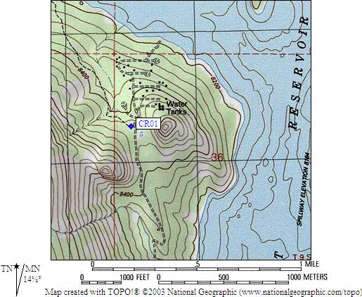
- CR01 is 4 standard boxes, at about 8400 feet,
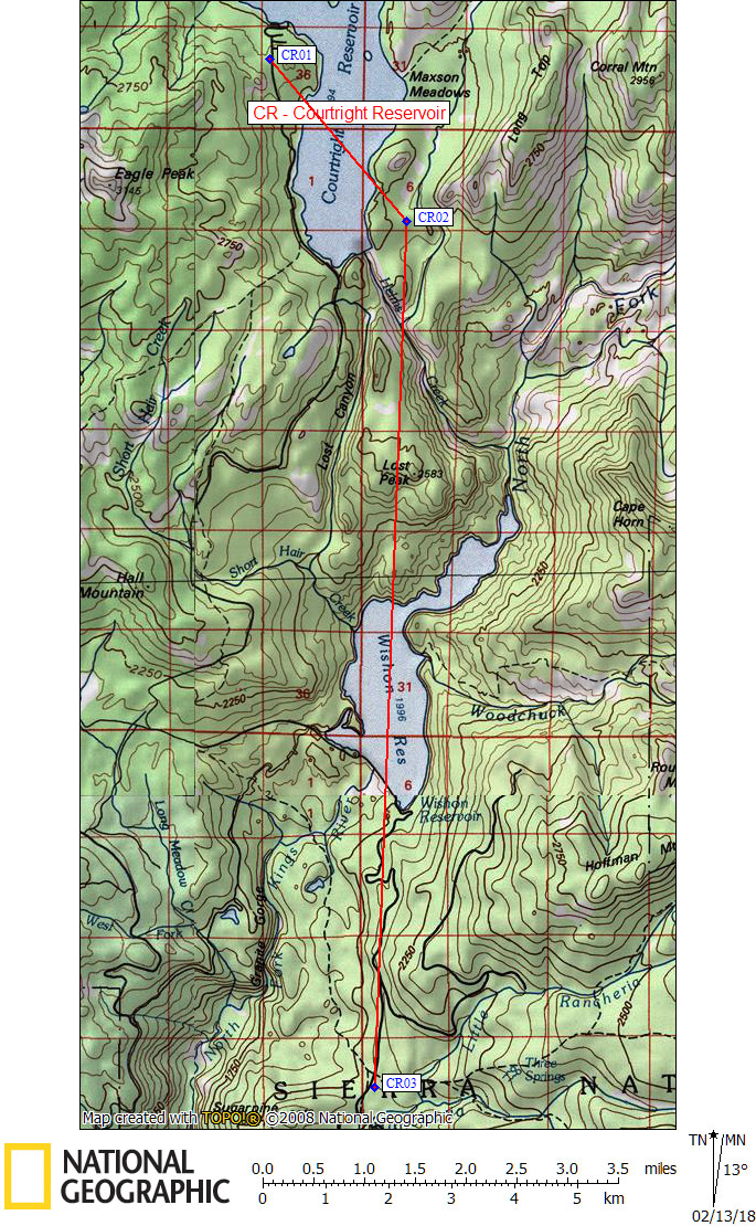
in the GPS route COURTRIGHT RES.
- Directions from Sridhar, June 2015:
Of the four standard bear boxes at this trailhead, two of them are broken
and in disrepair as of 2015, the other two are operational and functional.
- Directions from Steve Eckert, with GPS waypoint, August 2005:
Four standard bear boxes at the Cliff Lake Trailhead, at the
end of the road just beyond the Trapper Springs campground
on the west side of Courtright Reservoir.
- CR01 coordinates: (see GPX waypoint download links above)
  (lat,lon) = (37.1059700, -118.9872900) in decimal degrees, NAD83.
  (zone,east,north) = (11S, 323495.0, 4108277.0) in decimal meters, NAD27.
- Scroll down for a regional map of the entire Courtright Reservoir region.
Map exported from TOPO! software, used with permission.
Useful Links: