Bear Boxes in Courtright Reservoir (CR)
Generated on 2 Aug 2022 - see revision history - please send updates to the webmaster
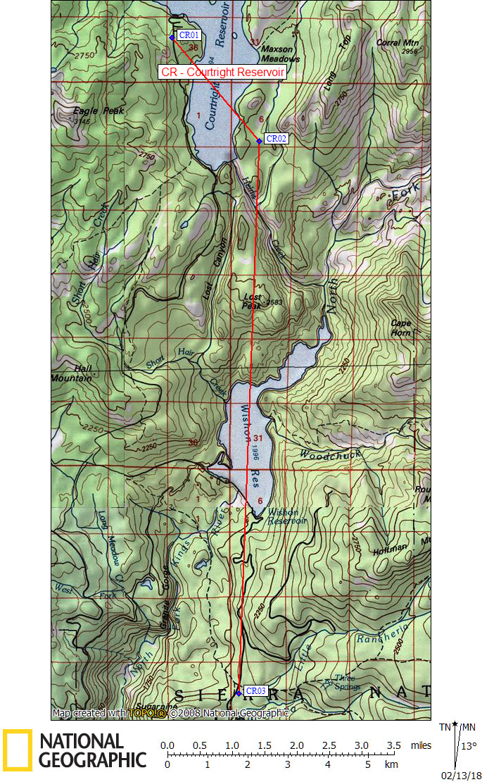
| 3 Bear Boxes in Courtright Reservoir - GPS route COURTRIGHT RES | |||
|---|---|---|---|
| click on name for details and directions | elevation | waypoint | food locker type |
| Cliff Lake Trailhead | 8400 | CR01 | 4 standard boxes |
| Maxson Trailhead | 8100 | CR02 | 8 standard boxes |
| Crown Valley Trailhead | 6700 | CR03 | 3 standard boxes |
Useful Links: