Bear Box at Lower Backpacker Parking Lot (BP03)
Generated on 2 Aug 2022 - see revision history - please send updates to the webmaster
Detail Map of waypoint BP03
in Big Pine Creek Drainage:
(scroll down for directions, waypoints, and area map)
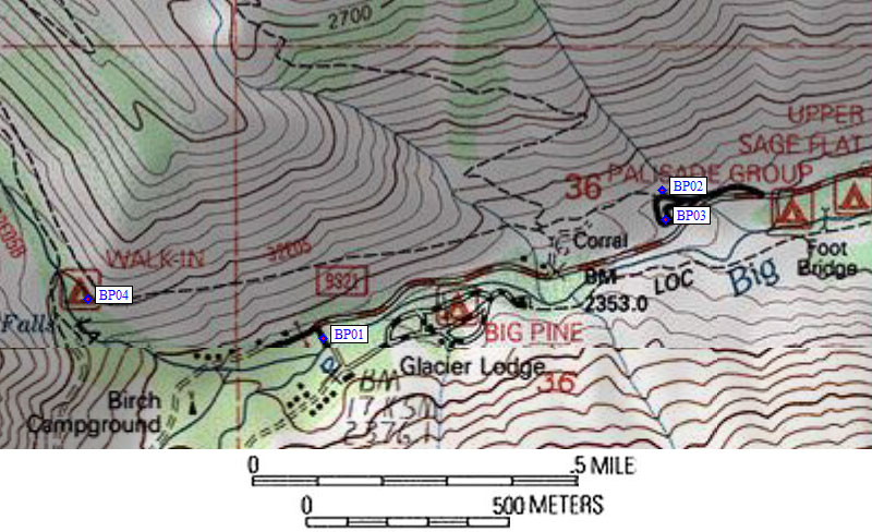
  (lat,lon) = (37.1278142, -118.4273777) in decimal degrees, NAD83.
  (zone,east,north) = (11S, 373284.0, 4109809.0) in decimal meters, NAD27.
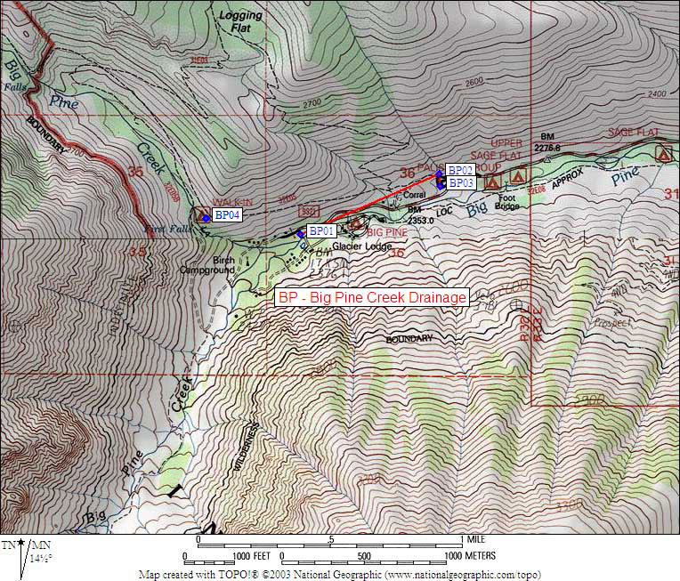
Map exported from TOPO! software, used with permission.
Useful Links: