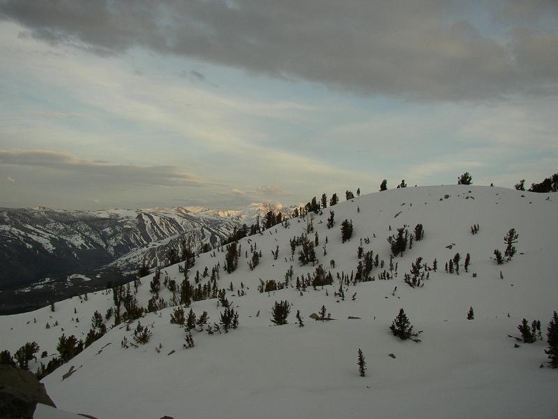
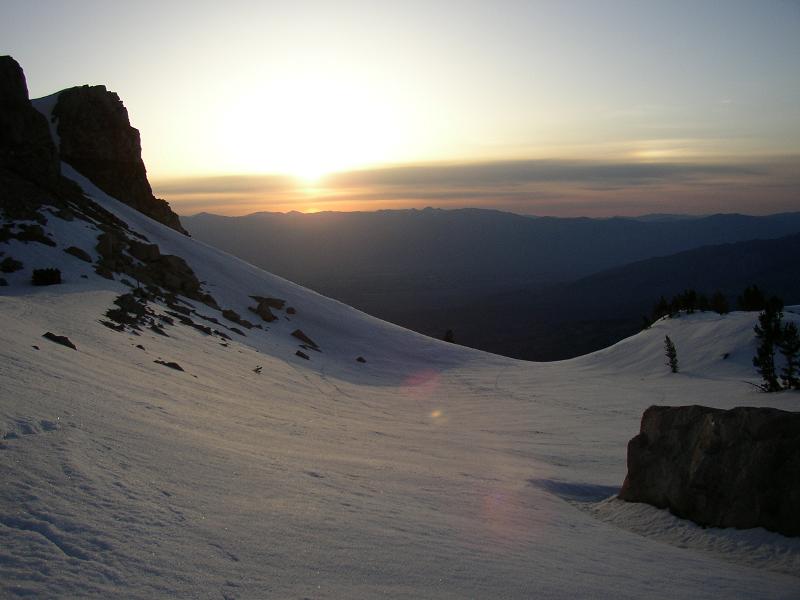
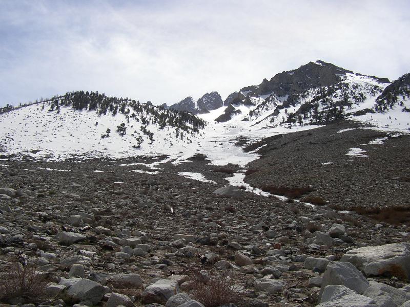
Snow level was about 8900', and the weather was a little cloudy. As luck would have it, a local happened by and clued me in about the snow conditions - some wet slides had occurred earlier in the week after a storm, but things were firming up. I was psyched, and headed up, deciding to leave the snowshoes in the car.
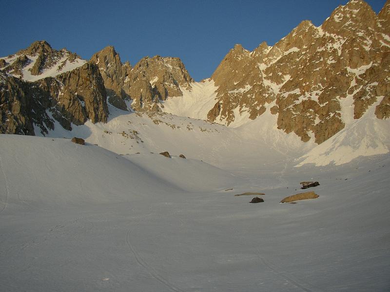
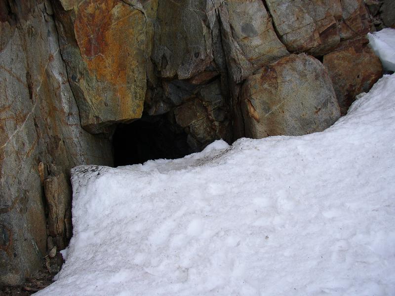
The snow was a bit mushy in places, but I made it to the mineshaft at around 10500' with no trouble. Here I bivied - temps in the mineshaft were in the low 40's, warm enough that my 15degF bag was overkill, but cool enough to keep the bag 'o snow I'd brought in from melting entirely.
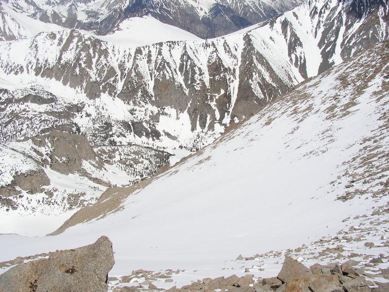
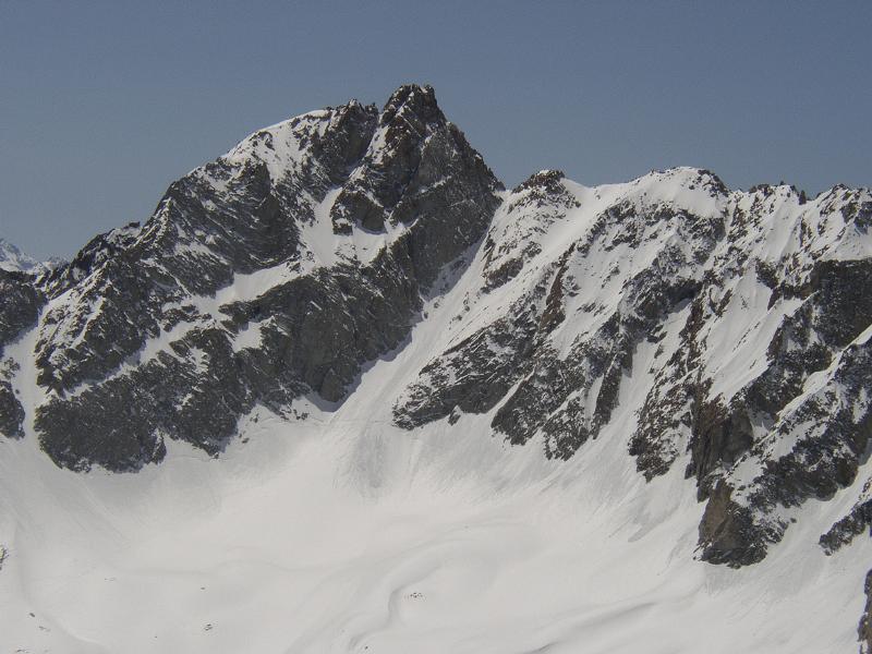
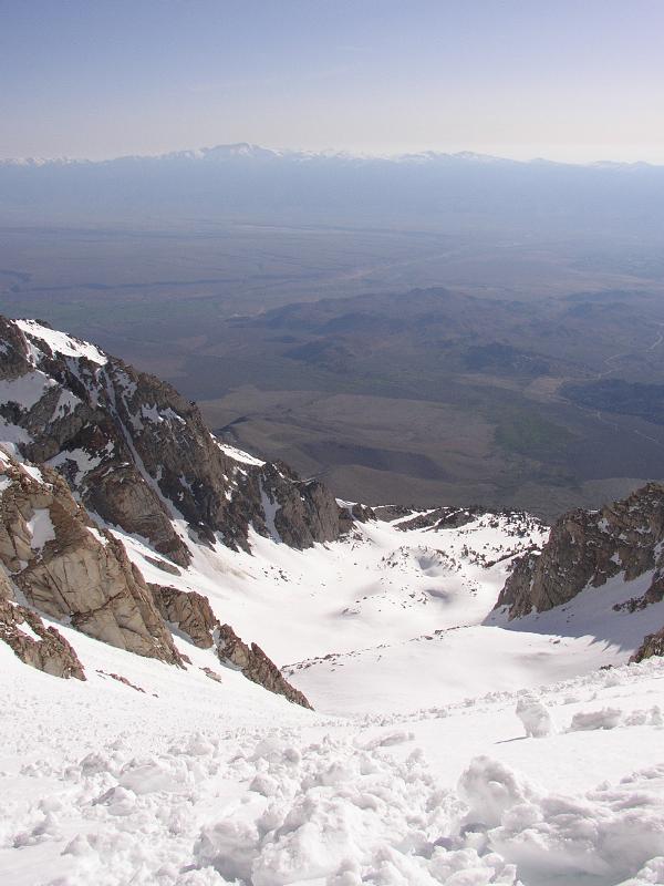
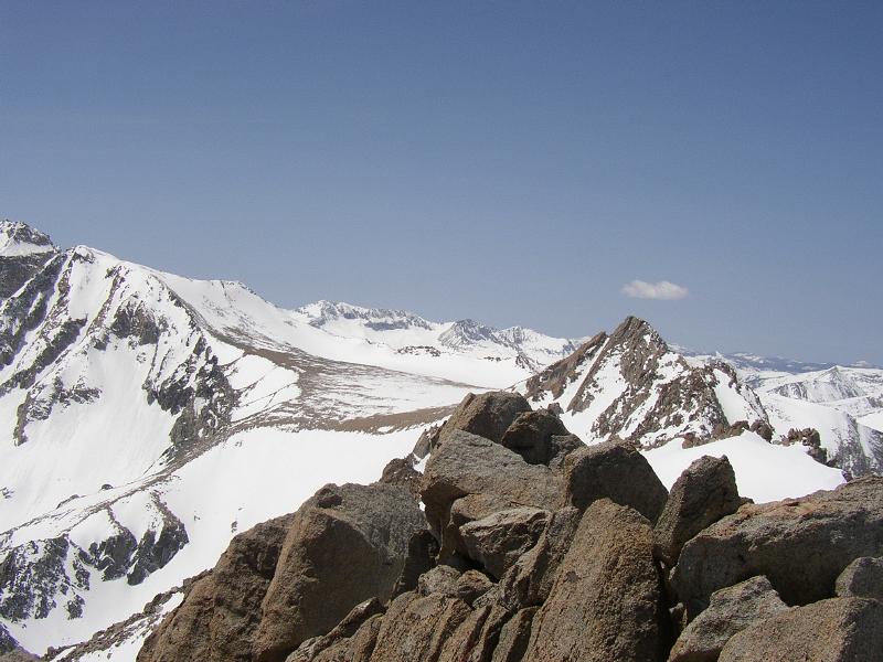
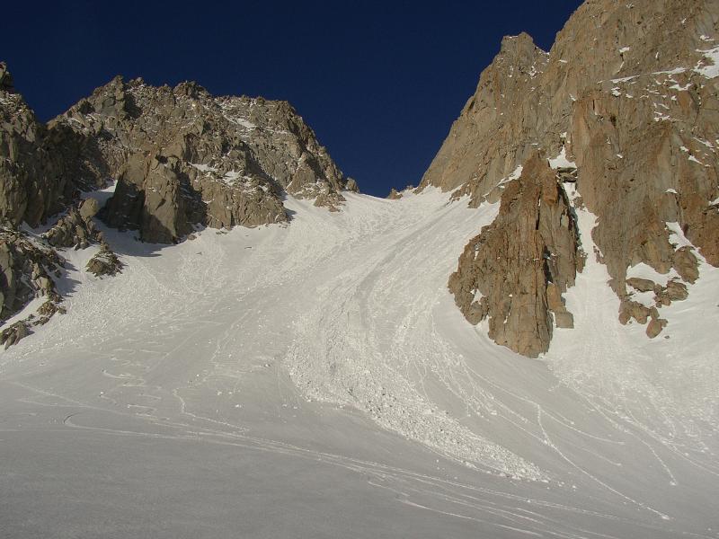
I should have gotten an earlier start, but at 6am headed up the nice wide couloir, a moderate climb whose slope probably is less than Avy Gulch between Red Banks and Helen Lake on Shasta. By 7:30 the sun was beating down, the snow was getting softer, and I was baking. It was kind of a slog, but the weather was perfect, and the views exhilarating. Around 12800' the couloir topped out, and I went NW to climb the 400' or so of rock that led to the summit. I could see a scree / talus gully just opposite the couloir (south), which I made use of later.
Some rate the climb from the east couloir class 4, but from other reports (5.4 cracks, roped up) I gather that this is kind of a sandbag. Beta from a climbing partner who soloed it last year gave me confidence that I could, um, probably do it. It took me 2.5 hours to climb the couloir, but 3.5 to climb the class 4 / 5 rock section.
I packed rock shoes, but never got them out, which is probably just as well because there was a fair amount of snow left. Instead, I worked on getting a feel for how my alpine boots worked on smallish holds, jamming, and even smearing (vibram soles + rough granite + 'thank god' holds). There were a couple of shady places that still held ice, making it necessary to reconsider / downclimb / retreat several times. I was grateful for all the cragging and gym-climbing I'd been doing lately.
While pondering how to make a set of cracks work, a couple of guys who were out for the day had caught up with me, looked at what I was trying to do, and broke out their rope, harnesses, and rack. I jealously watched them rope up, and thought of retreating entirely, but then it came to me, and I found the set of holds and jams that allowed me and my sense of personal safety to ascend. There was some more traversing, and I found myself a class 4 route that culminated in some kind of low class 5 layback / stemming moves. Soon I third-classed it to the summit, signed in, and commenced to eat lunch.
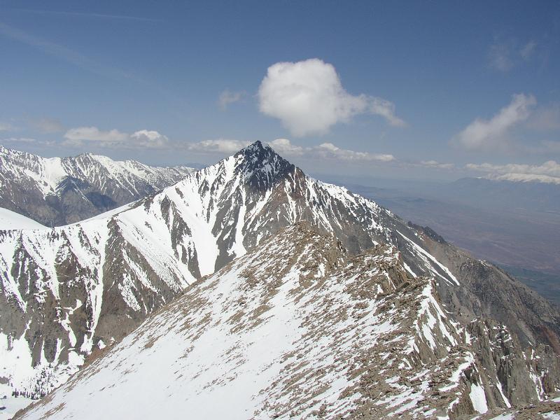
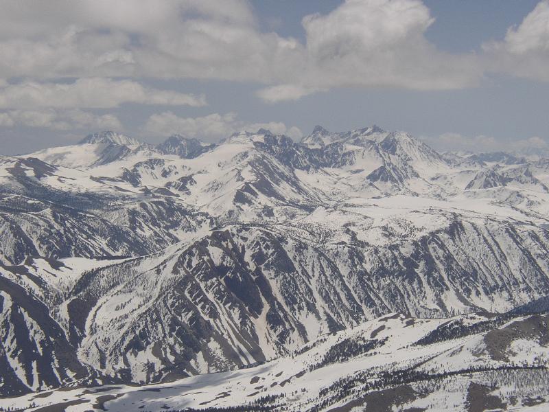
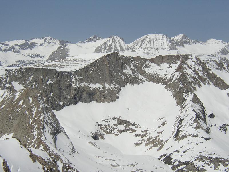
The roped-up pair arrived shortly, and after some introductions I learned that they were CMC folks (I had just become a provisional member), so we knew of some people in common. The inevitable picture-taking and peak-naming proceeded in earnest, ah the glory of mountaineering :)
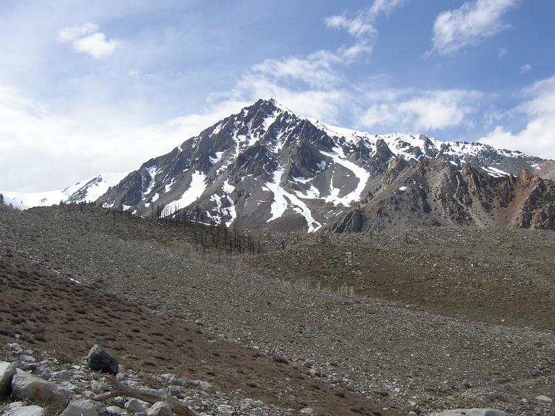
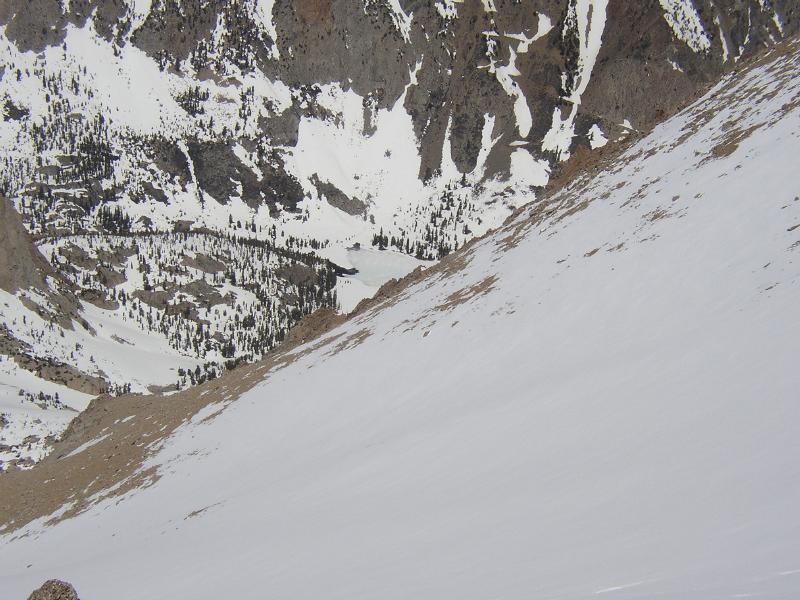
Soon I bade my farewells, and left the CMC guys to rap off and glissade the couloir. My route was down the obvious class 2 scramble. The north slope towards Horton Lake looked doable, but instead I traversed and headed down a snow gully to the south (hard to explain unless you're there - see also more details on summitpost.org). I initially started out on the scree / talus nearest the rock, but abandoned that after encountering patches of melt-freeze ice with nasty runout, and elected to plunge-step down the snow chute.
Said chute eventually led down to the gully south of the couloir, and I climbed about 500' back up tedious scree / talus to the top of the couloir. From here it was pretty much a matter of jumping in the CMC guys' glissade path and sliding back down to the mineshaft, packing up, and then glissading almost continuously down to snowline.
Free-soloing fifth class terrain is not something I want to make a habit of doing (especially in mountaineering boots), but it's good to know that it can be done if push comes to shove, and downclimbing is always good practice.
Pix are from http://rhysw.com/basin_mtn200505